Revealing Objects on and Beneath the Seabed
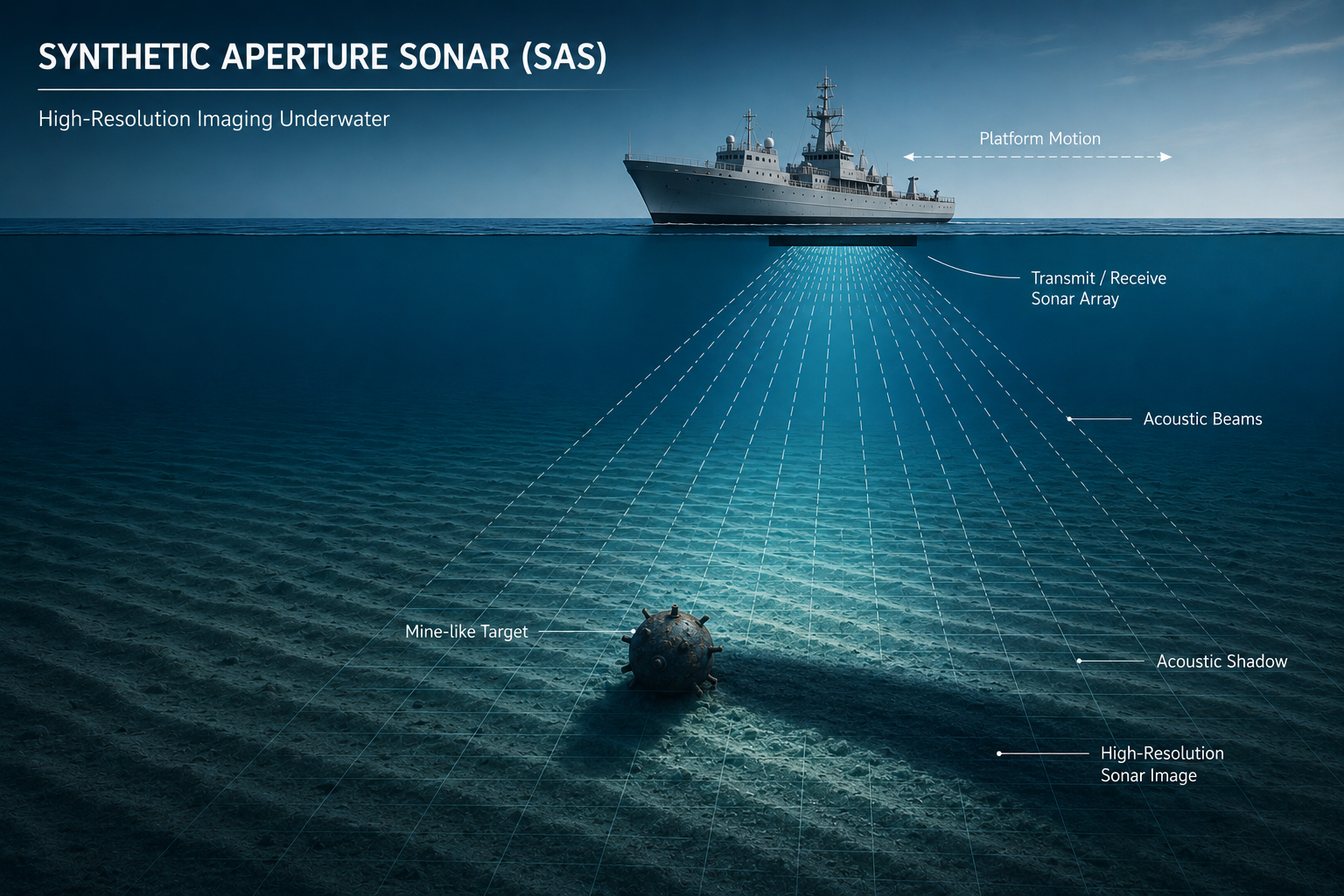
Synthetic aperture sonar (SAS) combines acoustic measurements collected along a moving platform's trajectory to synthesize a much longer effective aperture than the physical sonar array alone. This enables high-resolution seabed imagery, with the potential to maintain fine along-track resolution over a broad range of operating distances.
In practice, image quality depends on accurate platform motion estimates, coherent signal processing, and the ability to distinguish target returns from seabed reverberation and clutter. Omega Sensing Technologies develops processing methods to focus acoustic imagery and improve the detection of weak targets in challenging underwater environments.
How It Works
Coherent Aperture Synthesis
Acoustic measurements collected across successive pings are coherently combined to synthesize an extended aperture. Precise phase alignment enables high-resolution imagery beyond what a single ping or conventional physical array can provide.
Motion Estimation and Image Focusing
Platform motion and navigation errors can degrade coherent image formation. Motion compensation and focusing methods align acoustic returns to produce sharper images and improve the reliability of subsequent analysis.
Target Detection and Classification
Physics-informed signal processing and statistical inference help distinguish target signatures from seabed reverberation and clutter. Machine learning can complement these methods to support target classification, including the identification of weak or partially buried objects.
Applications
Underwater UXO and Seabed Hazards
Detecting and characterizing unexploded ordnance and other objects resting on or partially buried beneath the seabed, supporting surveys from autonomous and remotely operated underwater vehicles.
Maritime Survey
High-resolution seabed mapping for harbor surveys, underwater search, and the inspection of areas surrounding pipelines and subsea cables.
Defense and Security
Underwater mine detection, mine countermeasures, and seabed surveillance to support maritime and port security.
Marine Infrastructure and Environmental Assessment
Imaging the seabed around subsea structures and other infrastructure, and mapping seabed features to support environmental surveys and site characterization.